


SKU/Artículo: AMZ-9608195543
Naxos
Detalles del producto
Disponibilidad:
En stock
En stock
Peso con empaque:
0.30 kg
0.30 kg
Devolución:
Sí
Sí
Condición
Nuevo
Nuevo
Producto de:
Amazon
Amazon
Viaja desde
USA
USA
Sobre este producto
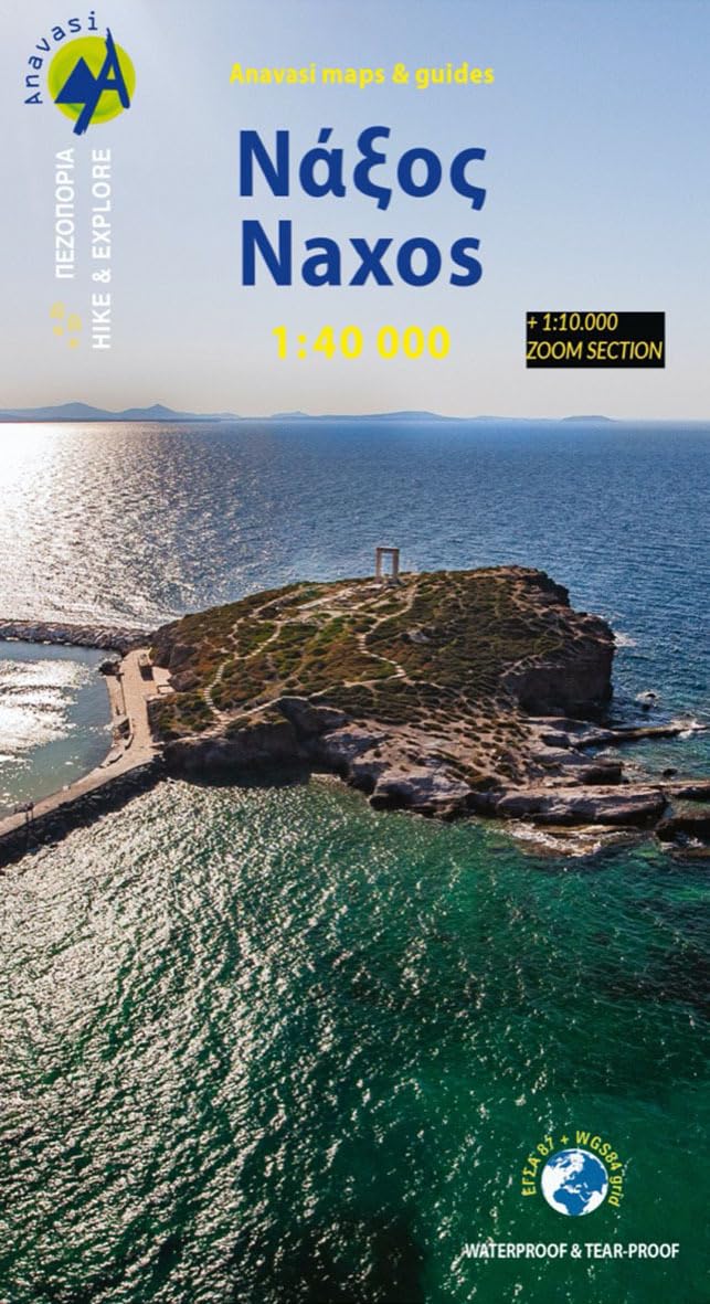
- Hiking Map of Naxos at a 1:40,000 scale (& 1:10,000 zoom section). Naxos is the largest and most fertile island of the Cyclades. The topography of the island is shaped by a mountain range running from north to south, with the highest peak, Zas, reaching 1,002 m. The eastern slopes are steep, while the western slopes gently descend to a hilly area with internal and coastal plains. The island is impressively abundant in Byzantine churches and medieval towers, as well as ancient remains. Dozens of trails, most of them waymarked, cross the island, making Naxos a very popular hiking destination. This map includes a 1:10,000 zoom section of the Byzantine park of Tragaia, while at the same scale you will also find the valley of Potamia, the wonderful valley of the Temple of Demeter, the Tower of Bazaios, the area of Kouri and the Sanctuary of the Springs that extends to Filoti, Aperathos and the top of Zas. Printed on waterproof & tear resistant polyart paper.
S/ 136.06
55% OFF
S/ 61.84
IMPORT EASILY
By purchasing this product you can deduct VAT with your RUT number
S/ 136.06
55% OFF
S/ 61.84
con envío
Conoce más detalles
Naxos Cyclades, Cyclade
Compra protegida
Disfruta de una experiencia de compra segura y confiable
![]() Garantía de entrega
Garantía de entrega
Con Tiendamia todas tus compras cuentan con Garantía de Entrega o devolución total de tu dinero.
Compras 100% seguras y garantizadas, para que pidas lo que sueñas y lo recibas del mundo a tu puerta.
Saber más.Visa
Mastercard
American Express

