

.svg)


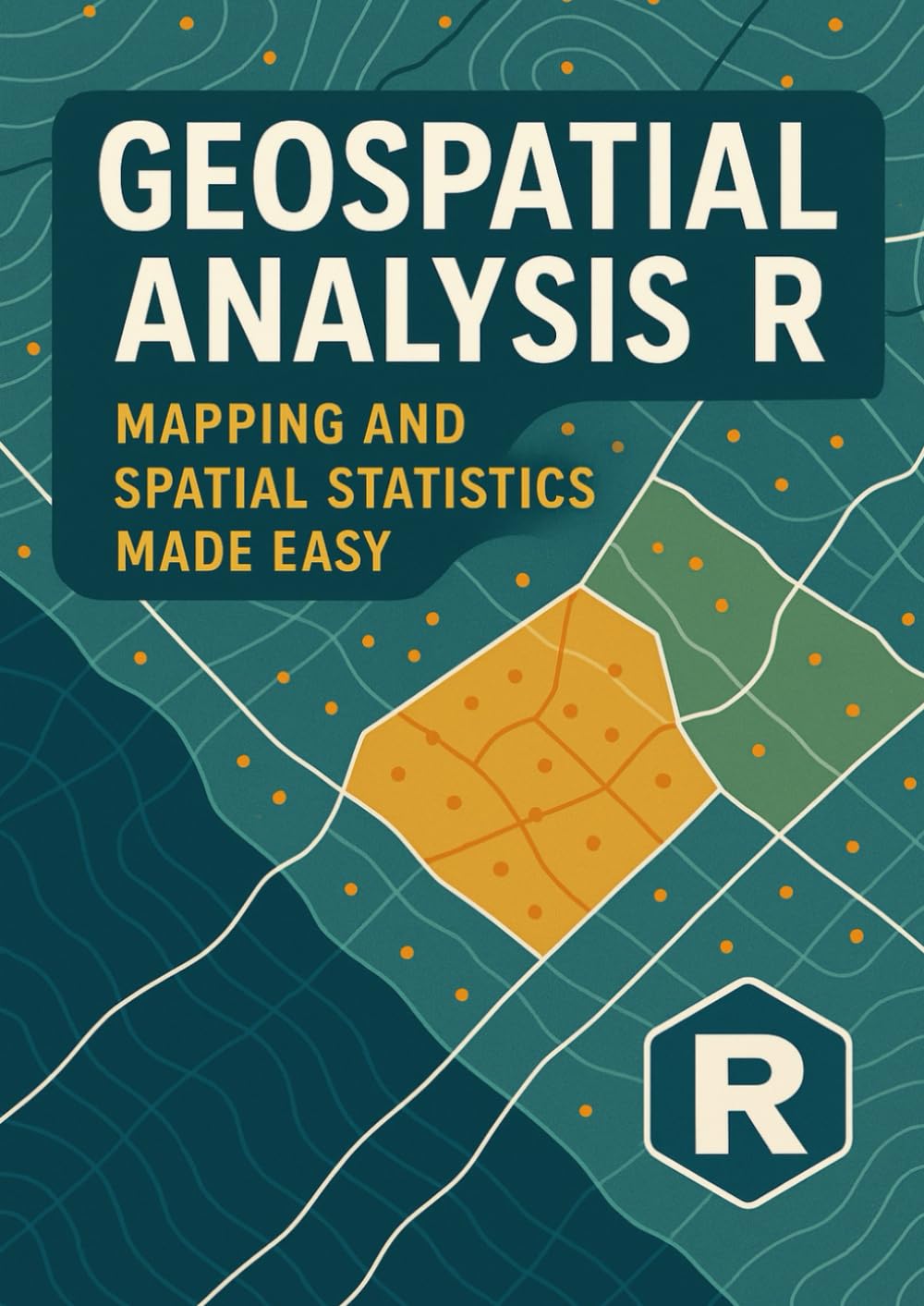


Geospatial Analysis with R: Mapping and Spatial Statistics Made Easy
Disponibilidad
En stock
En stock
Peso con empaque
0.24 kg
0.24 kg
Devolución
Sí
Sí
Condición
Nuevo
Nuevo
Producto de
Amazon
Amazon
Sobre este producto
- 🌍 The fundamentals of geospatial data — vector, raster, and coordinate systems explained clearly.
- 🗺️ Hands-on mapping with R using popular libraries like sf, sp, and ggplot2.
- 📊 Spatial statistics made simple — from point pattern analysis to spatial autocorrelation.
- 🧭 Step-by-step projects that show how to build professional-quality maps and perform real-world analyses.
- 🚀 Best practices and tips to make your geospatial workflows efficient and reproducible.
$33,29
44% OFF
$18,49
IMPORT EASILY
By purchasing this product you can deduct VAT with your RUT number
$33,29
44% OFF
$18,49
Envío gratis
Llega en 5 a 12 días hábiles
Con envío
Este producto viaja
de USA ![]() a tus manos en
a tus manos en
![]()
Compra protegida
Disfruta de una experiencia de compra segura y confiable
![]() Garantía de entrega
Garantía de entrega
Con Tiendamia todas tus compras cuentan con Garantía de Entrega o devolución total de tu dinero.
Compras 100% seguras y garantizadas, para que pidas lo que sueñas y lo recibas del mundo a tu puerta.
Tarjetas de Débito y Crédito
Visa
Mastercard
American Express
Dinners
Discover
Alias
Pagos a través de PayPal
Compra procesada en dólares con dinero en cuenta o tarjetas internacionales.
PayPal

