


Artículo: AMZ-1589483367
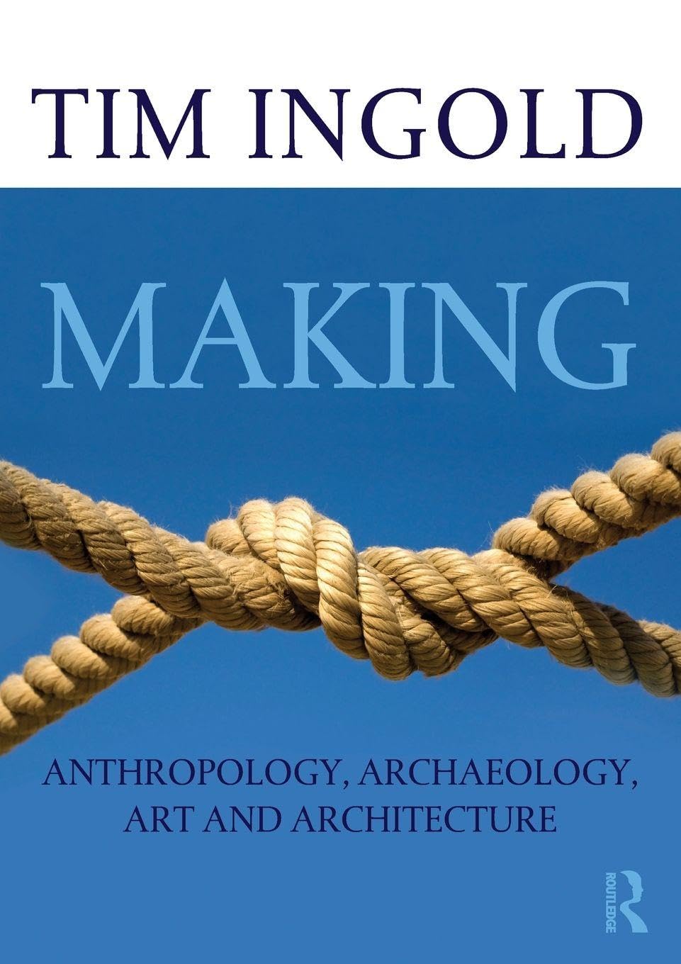
Making Spatial Decisions Using GIS and Remote Sensing: A Workbook
Format:
Paperback
Detalles del producto
Disponibilidad
En stock
En stock
Peso con empaque
0.98 kg
0.98 kg
Devolución
Sí
Sí
Condición
Nuevo
Nuevo
Producto de
Amazon
Amazon
Viaja desde
USA
USA
Sobre este producto
- Making Spatial Decisions Using GIS and Remote Sensing is the first workbook to highlight the image processing capabilities inherent in ArcGIS software. Designed to complement remote sensing textbooks in an undergraduate curriculum, this workbook teaches students image processing and analysis skills with ArcGIS 10.1 for Desktop. The book uses step-by-step instruction, guided activities that reinforce learned concepts, and independent projects that encourage students to solve problems using local data.A DVD with Landsat imagery and other data accompanies the book along with access to ArcGIS 10.1 for Desktop Advanced software (180-day use)
$45,19
55% OFF
$20,54
IMPORT EASILY
By purchasing this product you can deduct VAT with your RUT number
$45,19
55% OFF
$20,54
Envío gratis
Con envío
Este producto viaja
de USA ![]() a tus manos en
a tus manos en
![]()
Compra protegida
Disfruta de una experiencia de compra segura y confiable
![]() Garantía de entrega
Garantía de entrega
Con Tiendamia todas tus compras cuentan con Garantía de Entrega o devolución total de tu dinero.
Compras 100% seguras y garantizadas, para que pidas lo que sueñas y lo recibas del mundo a tu puerta.
Tarjetas de Débito y Crédito
Visa
Mastercard
American Express
Dinners
Discover
Alias
Pagos a través de PayPal
Compra procesada en dólares con dinero en cuenta o tarjetas internacionales.
PayPal

.svg)
